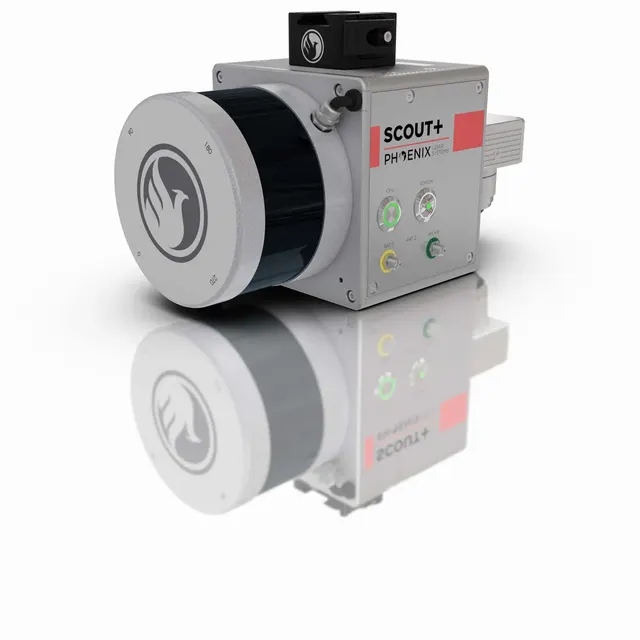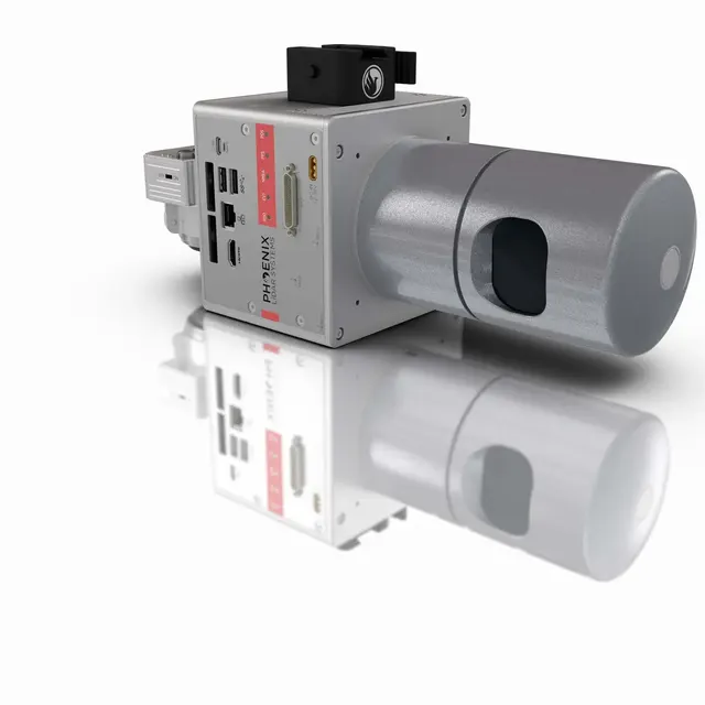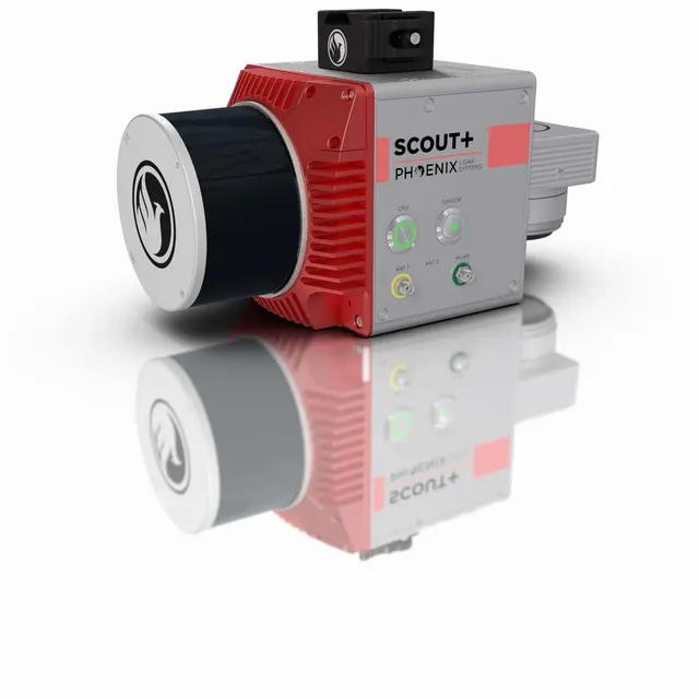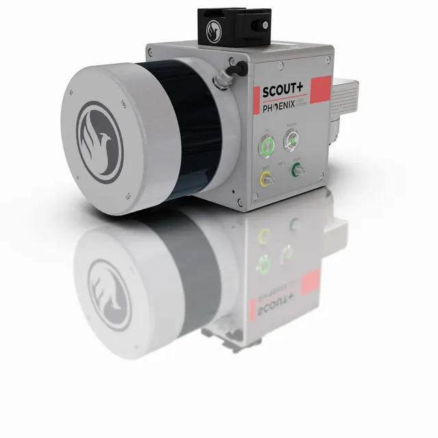
- Accuracy
- 2 mm
- Scanning area
- CMOS*2 360°
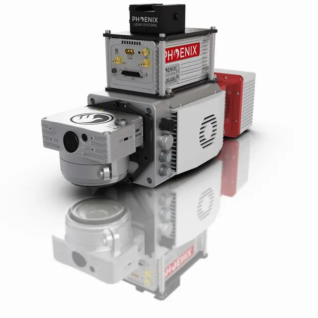
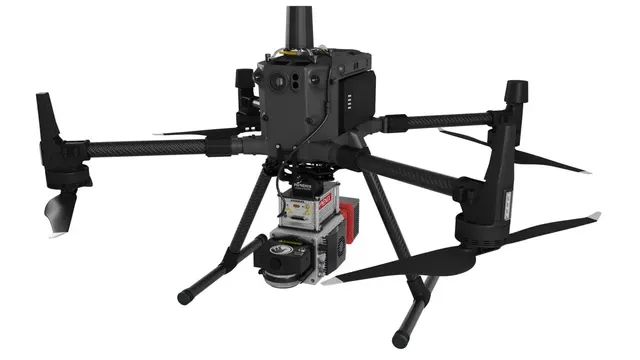
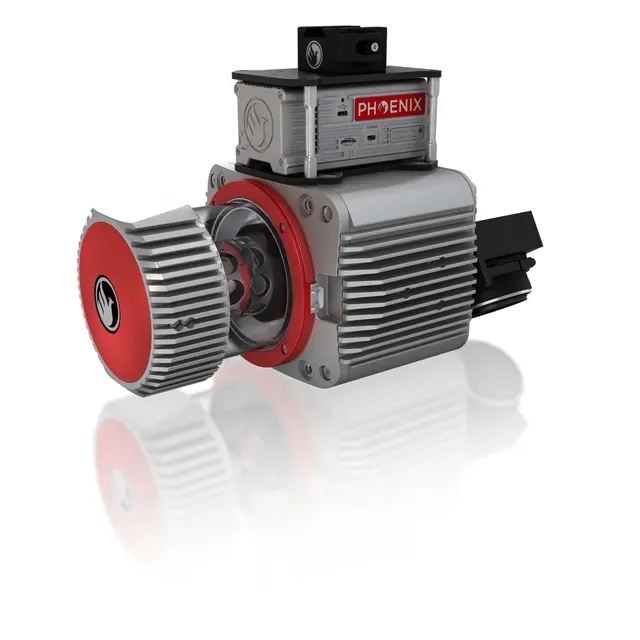
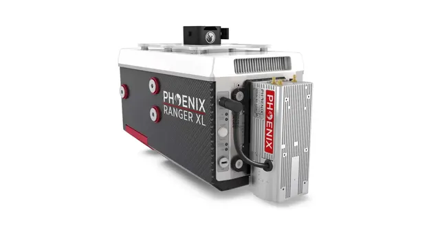
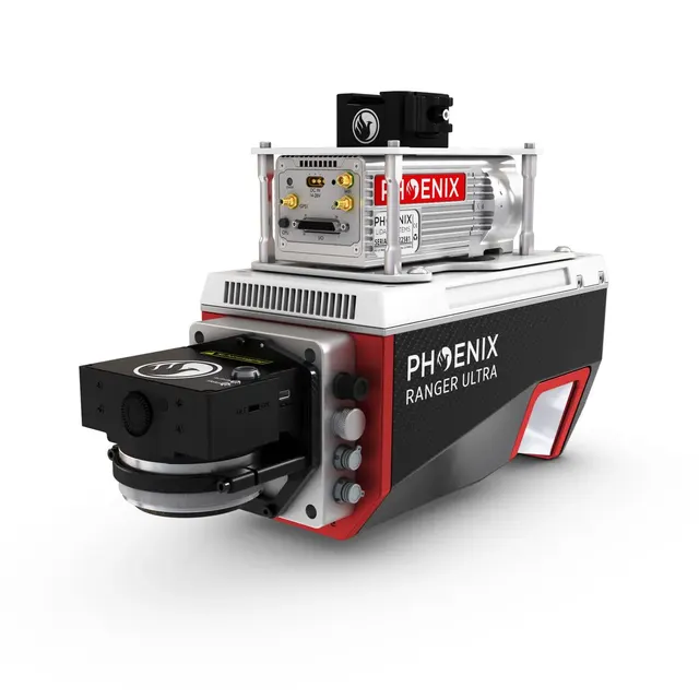
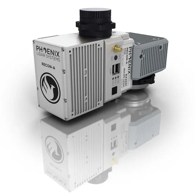
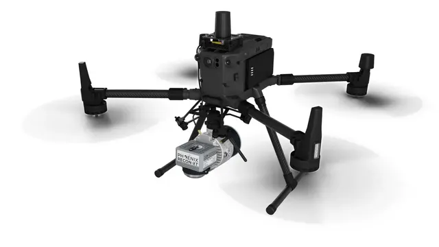
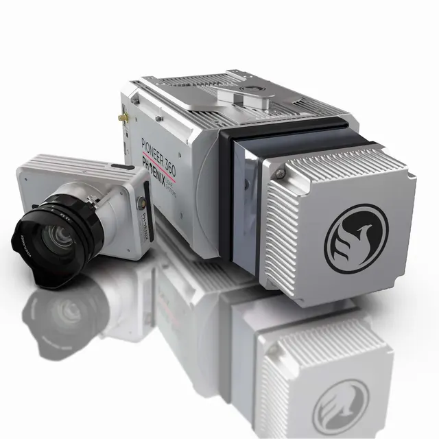
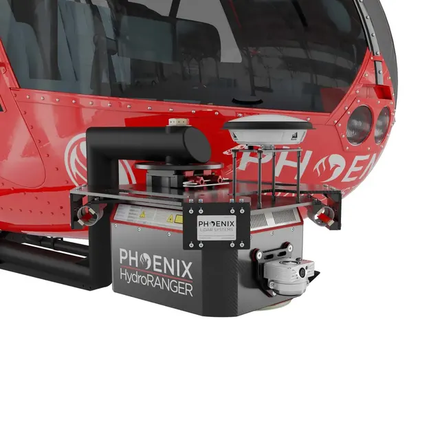
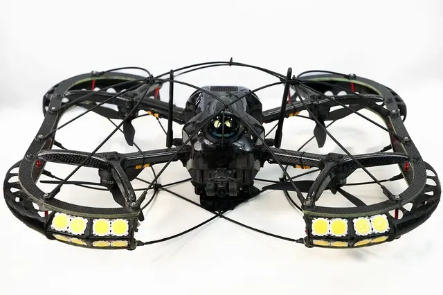
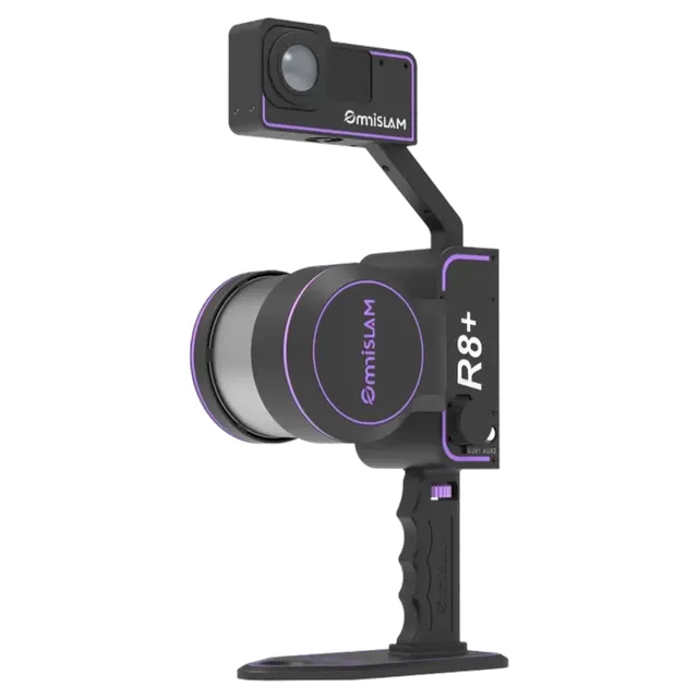
Phoenix Lidar Systems LiDARs for UAVs, helicopters and vehicles: miniRANGER, RANGER, RECON, SCOUT, PIONEER series and bathymetric HydroRANGER. Mapping, forestry, geology, transport, construction.
For mapping and forestry over large areas the miniRANGER and RANGER series are the best fit: higher speed, more returns and deeper canopy penetration. SCOUT and RECON suit geology.
For transport networks, surveying and construction the versatile and affordable RECON-XT is usually enough; for large volumes choose the senior series.
Specify accuracy and size — we will show matching models.