- Accuracy
- 2 mm
- Scanning area
- CMOS*2 360°
 1 / 2
Unmanned aerial system — Rugged unmanned system for industrial inspection and monitoring
Rugged unmanned system for industrial inspection and monitoring
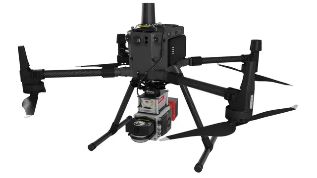
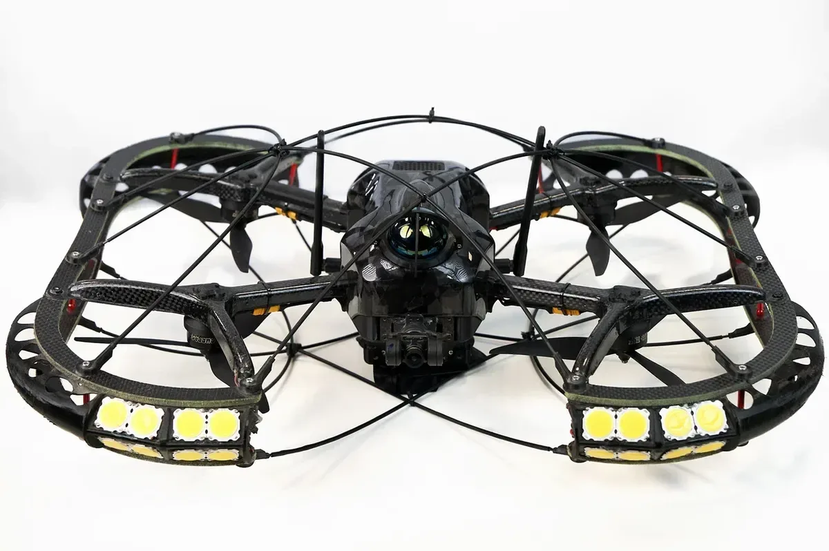
The InnoSpector unmanned system is designed for industrial inspection and monitoring. This rugged industrial drone is built for autonomous inspection, scanning and monitoring of complex industrial facilities, tanks and hard-to-reach confined spaces.
The drone performs missions automatically, and the operator can make adjustments as needed. Built-in navigation systems allow it to operate without GPS, automatically detecting and avoiding obstacles.
Thanks to extensive upgrade options, the drone can carry any equipment that fits its weight and size limits.
Utility tunnels and collectors, sewers, ventilation shafts, subways and other underground facilities — the unmanned system enables remote condition monitoring and significantly speeds up inspection.
Drones with LiDAR scanning, gas analysis and visual monitoring significantly improve the safety, productivity and cost-efficiency of mining operations. They can inspect hard-to-reach areas, create accurate maps of workings, and check resource reserves and equipment condition.
InnoSpector can be used for prompt, continuous monitoring of tanks, pipelines, distillation columns and cracking units. A variety of payload modules covers everything from visual inspection to creating digital twins and 3D models.
Boilers, furnaces, tanks, chimneys, pipes, turbines, cooling towers and other assets requiring visual or thermal imaging inspection. The drone's compact size makes it suitable for most types of power plants.
Integration of computer vision and LiDAR enables real-time creation of high-accuracy 3D maps even in the most challenging and confined spaces, including tunnels, mines and high-altitude areas.
Manufacturer data. Ask an EXAMETRA engineer for the current configuration.

Unmanned aerial system
| Speed | |
|---|---|
| Flight time | up to 23 minutes |
| Working area and size | |
| Flight distance | up to 2.5 km |
| Unfolded dimensions | 480 × 580 × 177 mm |
| Maximum signal transmission range | 4 km |
| Build and operation | |
| Maximum takeoff weight | 3 kg |
| Operating temperature | -20 to +55 °C |
| Other | |
| Navigation | SLAM (Lidar+IMU) |
| Illumination | Built-in LED light |
exametra.com · info@exametra.com · +7 777 821 10 00
Topography, elevation models, forestry and geology from LiDAR data.
IndustryRailcar and frame inspection, LiDAR mapping of transport infrastructure.
IndustrySurveys, BIM, as-built capture, facades, clash detection on live sites.
IndustryIncident scene capture, 3D city models for emergency response.
ServiceAerial LiDAR surveys for extremely large areas and distances
Specify accuracy and size — we will compare with alternatives.