
Industry
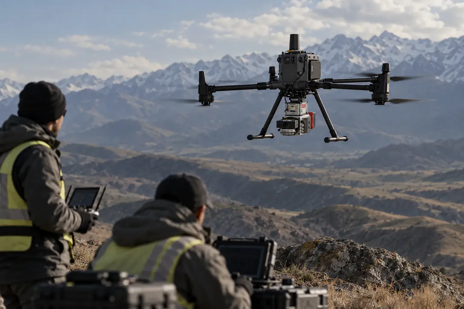
3D scanning and metrology in surveying and mapping
Topography, elevation models, forestry and geology from LiDAR data.
- Typical tasks
- 4
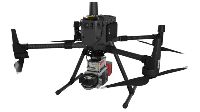
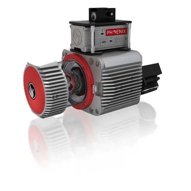
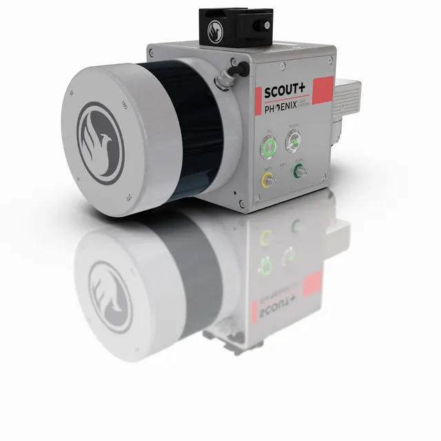
- Equipment models
- 4
- Turnkey services
- 1
Tasks
What we solve
- 01
Elevation models and topographic maps
- 02
Timber stock and canopy assessment
- 03
Geological formations and rock volumes
- 04
Building heights and earthwork volumes
Equipment
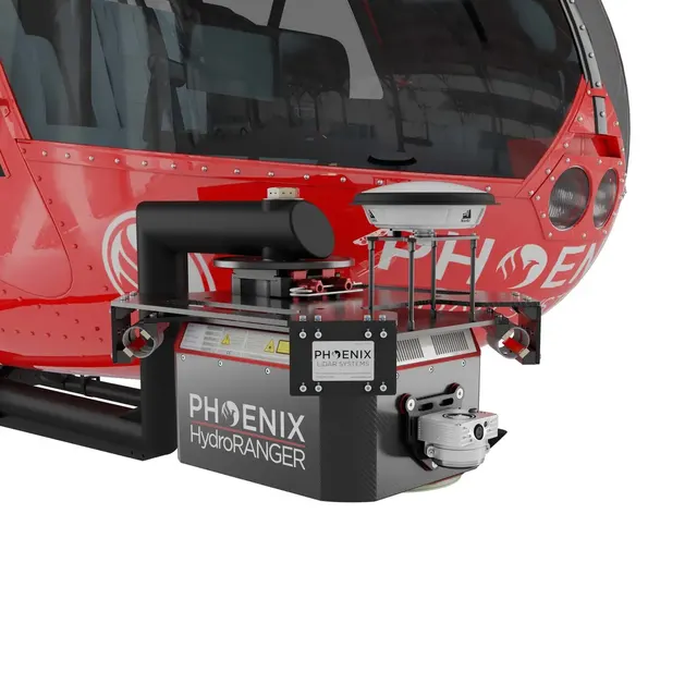
Suitable equipment
Services
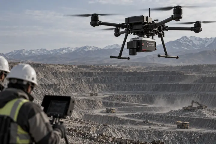
We can do it for you
No need to buy — we bring our own equipment and deliver the result.
Contacts
Let’s discuss your task
- More numbers
- +7 705 487 82 05
- +7 705 487 82 03International clients
- +7 705 487 82 04International clients
- info@exametra.comgeneral
- order@exametra.comorders
- Office
- 214 Bokeikhanov St, Almaty2ГИСYandex Maps