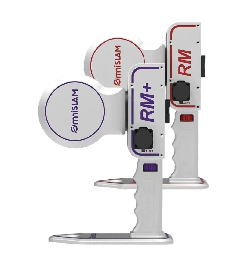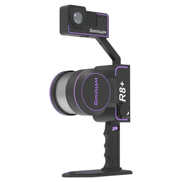
- Accuracy
- 2 mm
- Scanning area
- CMOS*2 360°
 1 / 10
Full specifications on request: we will send the manufacturer datasheet with the quotation.
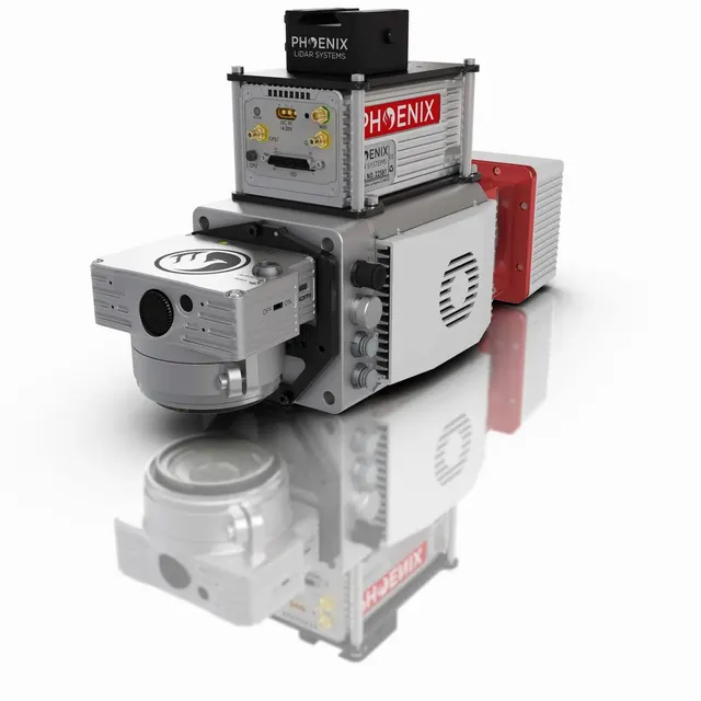
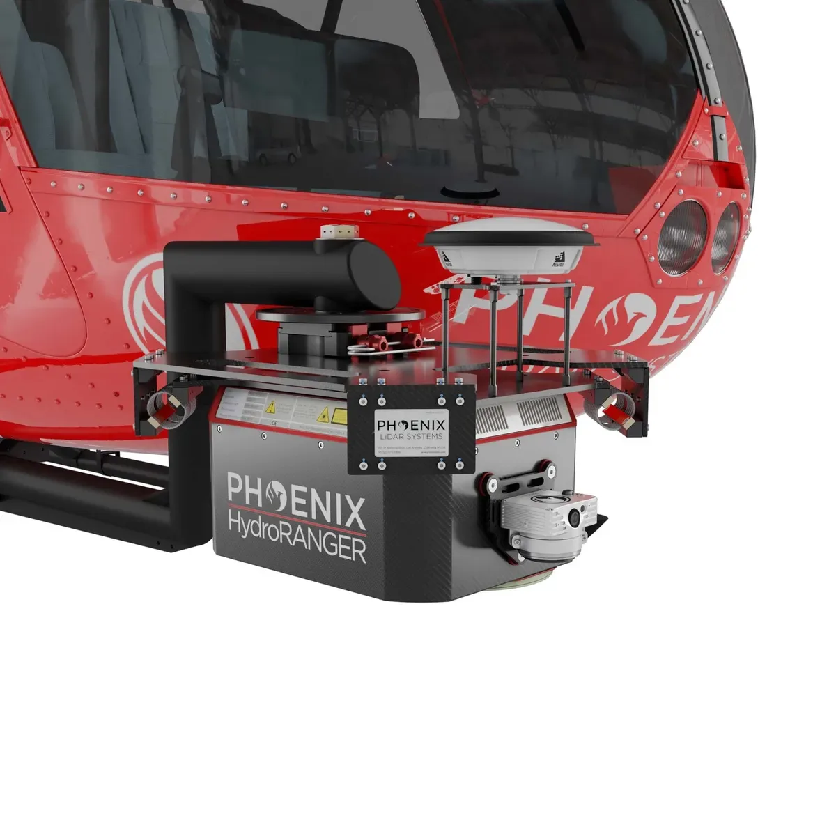
• Green light laser (532 nm) with online waveform processing for topographic, water surface and subsurface target mapping • Elliptical scan pattern provides a +/- 20 degree horizontal FOV for low angle of incident measurements • Configurable beam divergence and receiver FOV for low AGL missions
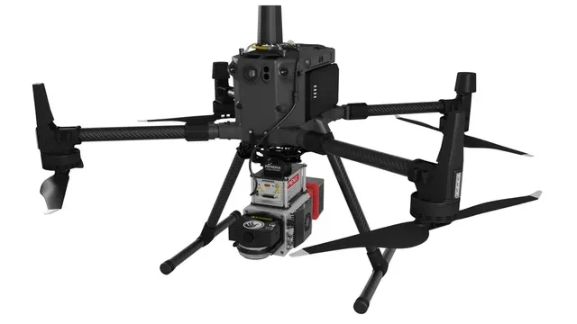
The HydroRANGER is an evolution of mapping technology. This Airborne Topo-Bathymetric (ATB) system provides dual purpose topographic and bathymetric measurements for full scene mapping of shoreline systems. Utilizing a visible green spectrum laser with an elliptical scan pattern and measurement rates up to 200 kHz, the HydroRANGER provides a combination of high spatial resolution and spatial accuracy. Capable of reaching beyond 2 Secchi depths, this is the ideal solution for mapping land-water interface environments along rivers, reservoirs, oceans and more.
Manufacturer data. Ask an EXAMETRA engineer for the current configuration.
Bathymetric LiDAR
Full specifications on request: we will send the manufacturer datasheet with the quotation.
exametra.com · info@exametra.com · +7 777 821 10 00
Specify accuracy and size — we will compare with alternatives.