
3D scanning
Airborne laser scanning
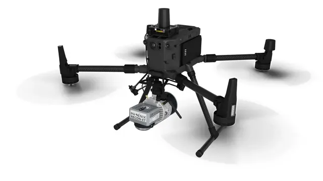
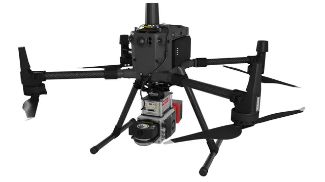
Aerial surveys with Phoenix LiDARs for extremely large areas and distances: mapping, forestry, geology, transport networks, construction.
- Platform
- UAV, helicopter, vehicle
- Equipment
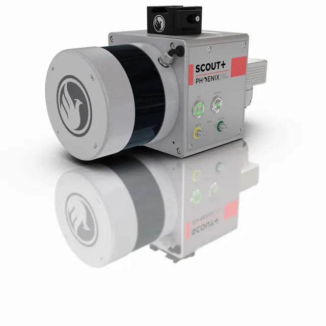
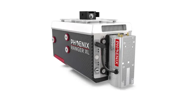
- Phoenix RECON, SCOUT, RANGER
- Stages
- 5
- Output formats
- LASLAZE57GeoTIFFDWG
About
What and why
EXAMETRA.COM
Applications of LiDAR scanning
LiDAR data can be used to build digital terrain models and topographic maps, and to measure the geometry of objects on the ground such as buildings, roads, bridges and other structures. For these tasks we recommend the higher-end miniRANGER and RANGER series, since the areas to be scanned are large and extensive.
LiDAR data can be used to estimate timber stock, analyse forest fires, determine overall canopy height and density, and identify the share of tree species. Here too the miniRANGER and RANGER models are the most relevant, winning not only on speed but also on a higher number of returns and deeper penetration through foliage.
LiDAR can be used to study geological formations, measure the volumes of rock masses, and analyse the shapes and sizes of craters, caves and other geological features. For geological tasks, the SCOUT or RECON series scanners are in most cases the optimal solution.
LiDAR data can be used to build 3D models of buildings and cityscapes, which improves planning and response to natural disasters such as floods, earthquakes and fires.
LiDAR data can be used to detect and study archaeological sites such as sunken ships, pyramids and the ruins of ancient cities. The Recon XT scanner handles archaeological tasks excellently.
LiDAR can be used to produce more accurate maps of roads and road signs and to monitor pavement condition. The choice of LiDAR for scanning transport networks depends heavily on the areas covered. The budget Recon XT has proven itself well in this application, but for large volumes it is better to turn to the higher-end, more productive series.
LiDAR data can be used to determine building heights, estimate earthwork volumes, monitor bridge deflection and so on. For surveying and construction tasks, the versatile and relatively inexpensive Recon XT is in most cases sufficient.
Still have questions, or even more of them now?
Applications
Applications
Mapping
Digital terrain models, topographic maps, geometry of buildings, roads and bridges. For large areas, the miniRANGER and RANGER series.
Forestry
Timber stock estimation, wildfire analysis, canopy height and density, share of tree species.
Geology
Study of geological formations, volumes of rock masses, craters and caves. The SCOUT and RECON series are the best fit.
Public safety
3D models of buildings and urban areas for planning flood, earthquake and fire response.
Transport networks
Accurate maps of roads and signs, pavement condition monitoring. The RECON-XT has proven itself well here.
Surveying and construction
Building heights, earthwork volumes, bridge deflection monitoring.
How we work
5 stages from brief to result
- 01
Request
A photo, drawing or description of the object, its dimensions, required accuracy and output format
- 02
Estimate
We choose the method and equipment and quote the lead time and cost
- 03
Scanning
At the EXAMETRA office in Almaty or at the customer's site
- 04
Processing
Point cloud, polygon model, CAD model or deviation report
- 05
Delivery
We hand over the files and, if needed, the measurement report
Equipment
We use what we supply
See every model in action on your object.
Industries
Industries
Estimate
We will estimate the price
Attach a photo, drawing or model and we will quote price and lead time.