
Bestseller
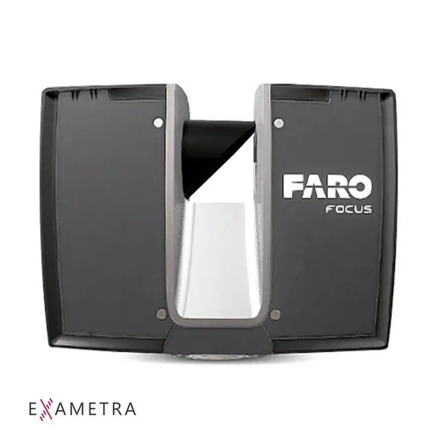
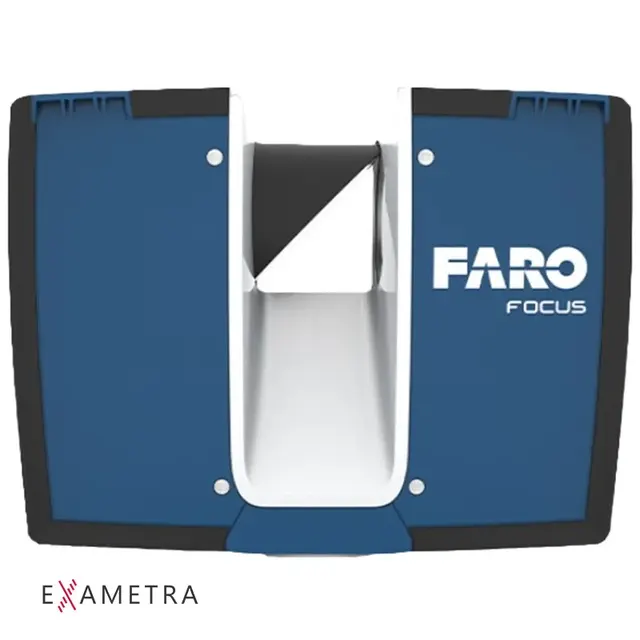
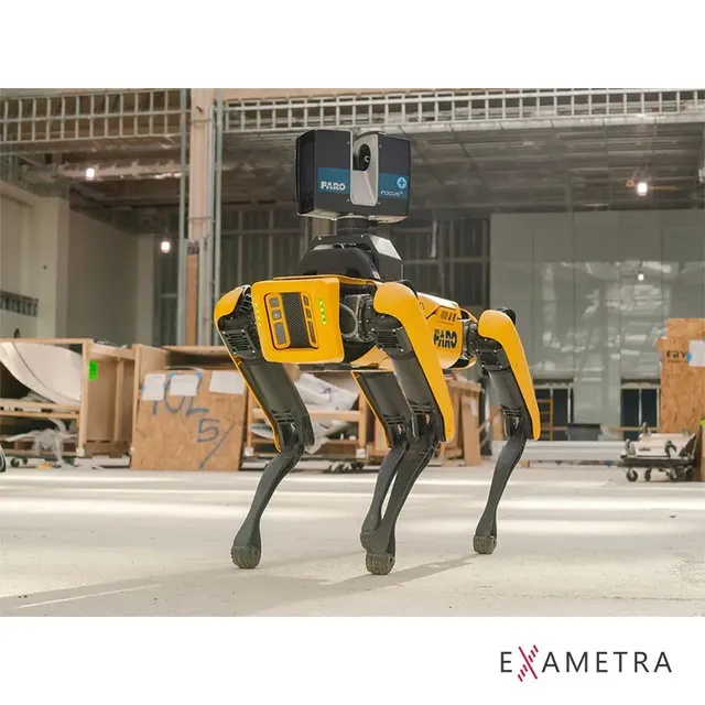
Huge volumes of data with fast, long-range FARO Focus 3D scanners: buildings, facades, industrial sites, utilities, bulk material stockpiles.
Demolition work. Remotely collect data on the technical condition of a site, including hazardous ones, and select the technology and equipment for the work. Recommended model: FARO Focus Premium 150 / 350
As-built surveys, BIM. Quickly collect large volumes of data, easily measure curved surfaces, and miss no measurements due to human error. Recommended models: FARO Focus Core, FARO Focus Premium 70 / 150 / 350
As-built documentation. Regularly audit the volume of completed work without sending busy specialists to the site. Recommended models: FARO Focus Core, FARO Trek
Facade work. Preparing facade drawings from laser survey data becomes many times easier. Recommended model: FARO Focus Premium 150 / 350
Analysis of existing facilities and utilities. Collecting complete, accurate laser-scan-level data is practically out of reach for conventional measurement methods on sites with a large number of utilities. Recommended models: FARO Focus Premium 70 / 150 / 350
A significant share of industrial enterprises needs deep modernisation, yet the lack of original and/or up-to-date as-built documentation, diagrams and plans makes the design stage of a modernisation project considerably harder.
Laser scan data is valuable for planning maintenance, construction or decommissioning work.
For example, one common problem is installing large equipment in an existing plant. The drawings need to be studied carefully, but in many cases the original plans probably do not reflect updates and changes.
With laser scanning you can take the point cloud, run a quick animation and run clash detection to make sure the equipment fits, long before the project is carried out.
Laser scanning is especially important and effective on sites with a high density of equipment, fast construction progress and a large number of inspection points. For all these tasks there is no longer any need to keep an army of surveyors measuring every day. Laser scanning also minimises the human factor while increasing the speed and density of the data collected. Recommended model: FARO Focus Premium
Using 3D scanners significantly improves the accuracy of calculating the volumes of bulk cargo and rock compared with traditional measurement methods.
The non-reflective measurement method significantly reduces risks to staff and equipment during measurements.
Scanning range can reach hundreds of metres, which greatly speeds up and simplifies measurement, and in-house specialists may not need to visit the site at all.
Recommended model: FARO Focus Premium 150 / 350
Digitising historic architecture preserves cultural heritage sites for future generations by supporting later work to restore their original appearance and keep the site in its original condition.
With 3D scanning, restoration work is much more efficient: you can model the result faster, assess the initial condition and prepare a work plan. Scanning is also often used in restoration of small architectural forms such as statues, monuments and fountains.
Laser 3D scanning is also widely used in archaeological excavations to record the location and condition of finds fully and accurately at different stages.
Recommended model: FARO Focus Premium
Still have questions, or even more of them now?
Remote collection of data on the technical condition of a site, including hazardous ones; selecting the right technology for the work.
Fast capture of large volumes of data and measurement of curved surfaces with no missed measurements.
Regular audits of completed work without sending busy specialists to the site.
Preparing facade drawings from laser survey data becomes many times easier.
Clash detection when installing new equipment in an operating plant, long before installation.
Non-reflective measurement of the volumes of bulk cargo and rock with no risk to staff.
Digitising architecture for restoration and for preserving sites for future generations.
A photo, drawing or description of the object, its dimensions, required accuracy and output format
We choose the method and equipment and quote the lead time and cost
At the EXAMETRA office in Almaty or at the customer's site
Point cloud, polygon model, CAD model or deviation report
We hand over the files and, if needed, the measurement report
See every model in action on your object.
Attach a photo, drawing or model and we will quote price and lead time.